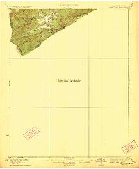
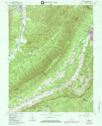
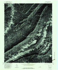
1923 Map of Waiteville
USGS Topo · Published 1923This historical map portrays the area of Waiteville in 1923, primarily covering Craig County as well as portions of West Virginia. Featuring a scale of 1:62500, this map provides a highly detailed snapshot of the terrain, roads, buildings, counties, and historical landmarks in the Waiteville region at the time. Published in 1923, it is one of 2 known editions of this map due to revisions or reprints.
Find a feature on this map
14 named features on this map. Tap any name to fly to it.
Don’t see what you’re looking for? This feature index may not catch every label — zoom into the map to look around manually.
Map Details
Editions of this 1923 Waiteville Map
2 editions found
Historical Maps of Roanoke County Through Time
14 maps found
1923 Waiteville
Craig County, VA

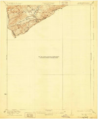
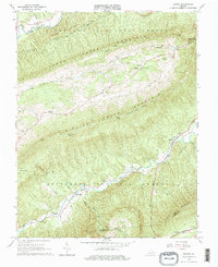
1931 Waiteville
Craig County, VA
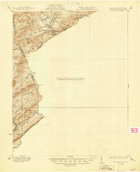
1944 Waiteville
Craig County, VA
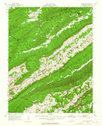
1951 Waiteville
Craig County, VA
1963 Catawba
Craig County, VA
1963 Looney
Craig County, VA
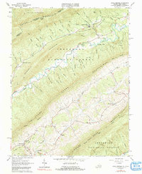
1965 Craig Springs
Craig County, VA
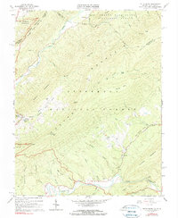
1966 Potts Creek
Craig County, VA
1977 Catawba
Craig County, VA
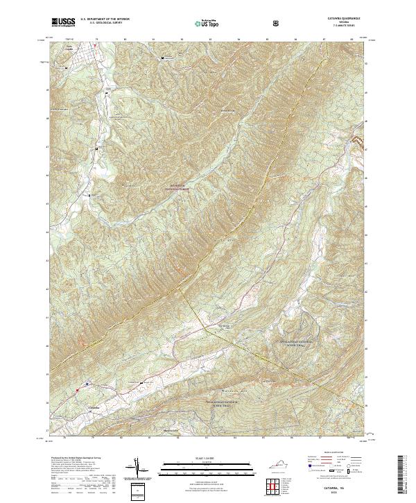
2022 Catawba
Craig County, VA
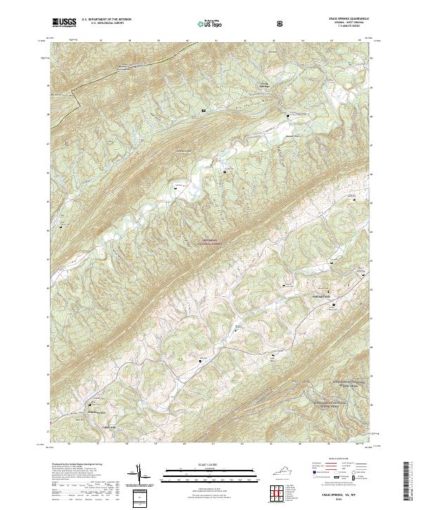
2022 Craig Springs
Craig County, VA
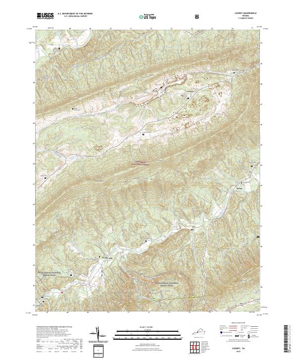
2022 Looney
Craig County, VA
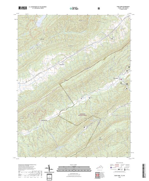
2022 Paint Bank
Craig County, VA
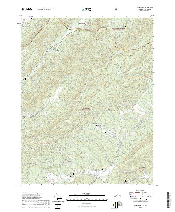
2022 Potts Creek
Craig County, VA