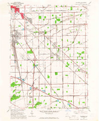
1965 Map of Walbridge
USGS Topo · Published 1966About this map
Industrial rail infrastructure and agricultural expansion define this mid-1960s landscape at the junction of Lucas, Wood, and Ottawa counties. The western edge is dominated by a complex network of lines including the Chesapeake and Ohio, Toledo Terminal, and Pennsylvania railroads, which converge near the yard at Walbridge. This transit hub supports the growing residential areas of Northwood and Oregon, while further south, the Ohio Turnpike cuts a modern swath across the traditional farmsteads of Lake and Troy townships.
Find a feature on this map
53 named features on this map. Tap any name to fly to it.
Don’t see what you’re looking for? This feature index may not catch every label — zoom into the map to look around manually.
Map Details
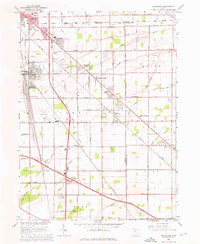
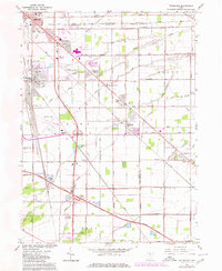
Editions of this 1965 Walbridge Map
3 editions found
Other maps of this area

1900 · Maumee Bay
USGS Topo · 1:62,500

1900 · Toledo
USGS Topo · 1:62,500

1901 · Bowling Green
USGS Topo · 1:62,500

1901 · Elmore
USGS Topo · 1:62,500

1903 · Bowling Green
USGS Topo · 1:62,500

1903 · Elmore
USGS Topo · 1:62,500

1934 · Reno Beach
USGS Topo · 1:24,000

1934 · Point Place
USGS Topo · 1:24,000

1934 · Rossford
USGS Topo · 1:24,000

1935 · Walbridge
USGS Topo · 1:24,000