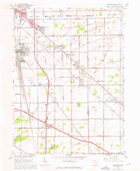
1965 Map of Walbridge
USGS Topo · Published 1976About this map
Walbridge Yard serves as a massive industrial anchor in this 1965 survey, illustrating the critical rail infrastructure connecting the Chesapeake and Ohio, New York Central, and Pennsylvania railroads. This network supported the growth of neighboring communities like Walbridge, Northwood, and Oregon, while agricultural holdings such as Cresceus Farms and East Lawn remained prominent. The transition from rural to suburban is evident in the development around Woodville Gardens and the inclusion of the Toledo Airport. Genealogists will find significant local history markers in the Roselawn Memorial Park, Lake Cem, and Allen Cem, alongside landmarks like Zion Ch. The map also captures the path of the Ohio Turnpike as it cuts through Lake and Troy townships, defining the modern transport corridor of the era.
Find a feature on this map
65 named features on this map. Tap any name to fly to it.
Don’t see what you’re looking for? This feature index may not catch every label — zoom into the map to look around manually.
Map Details
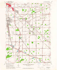
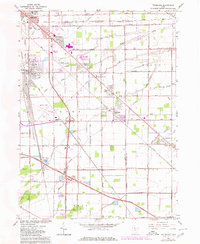
Editions of this 1965 Walbridge Map
3 editions found
Other maps of this area

1900 · Maumee Bay
USGS Topo · 1:62,500

1900 · Toledo
USGS Topo · 1:62,500

1901 · Bowling Green
USGS Topo · 1:62,500

1901 · Elmore
USGS Topo · 1:62,500

1903 · Bowling Green
USGS Topo · 1:62,500

1903 · Elmore
USGS Topo · 1:62,500

1934 · Reno Beach
USGS Topo · 1:24,000

1934 · Point Place
USGS Topo · 1:24,000

1934 · Rossford
USGS Topo · 1:24,000

1935 · Walbridge
USGS Topo · 1:24,000