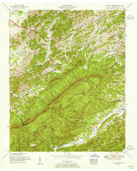
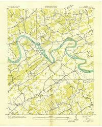
1953 Map of Walden Creek
USGS Topo · Published 1955About this map
Harrison Chilhowee Academy stands near the northwestern corner of this Sevier County landscape, anchoring a region defined by the dramatic ascent from Boyds Creek into the high ridges of the Smoky Mountain foothills. The 1950s settlement pattern follows narrow valley floors, where small communities like Cusick and DuPont are marked by concentrations of rural schools and churches. Public life in these hollows centered on institutions like the Zion Hill School and Laurel Grove Church, while the surrounding terrain rises sharply toward Sugarloaf Mountain and the high points of Little Pine Mountain.
Find a feature on this map
77 named features on this map. Tap any name to fly to it.
Don’t see what you’re looking for? This feature index may not catch every label — zoom into the map to look around manually.
Map Details
Editions of this 1953 Walden Creek Map
4 editions found
Other maps of this area

1886 · Knoxville
USGS Topo · 1:125,000

1892 · Knoxville
USGS Topo · 1:125,000

1894 · Knoxville
USGS Topo · 1:125,000

1895 · Knoxville
USGS Topo · 1:125,000

1901 · Knoxville
USGS Topo · 1:125,000

1935 · Knoxville
USGS Topo · 1:48,000

1935 · Walden Creek
USGS Topo · 1:24,000

1935 · Wildwood
USGS Topo · 1:24,000

1935 · Sevierville
USGS Topo · 1:48,000
1935 · Boyds Creek
USGS Topo · 1:24,000