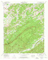
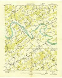
1953 Map of Walden Creek
USGS Topo · Published 1975About this map
The Chilhowee Mountain and Slate Knobs terrain dominates this 1953 survey of the Tennessee borderlands, where the Sevier and Blount lines meet. The landscape is defined by its educational and spiritual centers, featuring the prominent Harrison Chilhowee Academy in the northwest and a network of rural schoolhouses like Dripping Springs School and Benson School.
Find a feature on this map
92 named features on this map. Tap any name to fly to it.
Don’t see what you’re looking for? This feature index may not catch every label — zoom into the map to look around manually.
Map Details
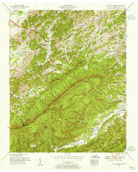
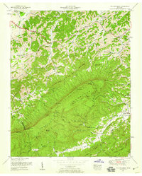
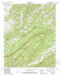
Editions of this 1953 Walden Creek Map
4 editions found
Other maps of this area

1886 · Knoxville
USGS Topo · 1:125,000

1892 · Knoxville
USGS Topo · 1:125,000

1894 · Knoxville
USGS Topo · 1:125,000

1895 · Knoxville
USGS Topo · 1:125,000

1901 · Knoxville
USGS Topo · 1:125,000

1935 · Knoxville
USGS Topo · 1:48,000

1935 · Walden Creek
USGS Topo · 1:24,000

1935 · Wildwood
USGS Topo · 1:24,000

1935 · Sevierville
USGS Topo · 1:48,000
1935 · Boyds Creek
USGS Topo · 1:24,000