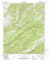
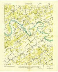
1953 Map of Walden Creek
USGS Topo · Published 1988About this map
The Chilhowee Mountain and Bluff Mountain ridges dominate this landscape in eastern Tennessee, where early rural institutions anchor the small communities of the early 1950s. The northern reaches are bisected by the Chapman Highway, a primary artery passing through Cusick and past the Harrison Chilhowee Academy. Local life is recorded through a network of country churches and schools, such as Shiloh Church, Sugarloaf Church, and the White School, which served the families living along the many branches of Boyds Creek and Walden Creek.
Find a feature on this map
82 named features on this map. Tap any name to fly to it.
Don’t see what you’re looking for? This feature index may not catch every label — zoom into the map to look around manually.
Map Details
Editions of this 1953 Walden Creek Map
4 editions found
Other maps of this area

1886 · Knoxville
USGS Topo · 1:125,000

1892 · Knoxville
USGS Topo · 1:125,000

1894 · Knoxville
USGS Topo · 1:125,000

1895 · Knoxville
USGS Topo · 1:125,000

1901 · Knoxville
USGS Topo · 1:125,000

1935 · Knoxville
USGS Topo · 1:48,000

1935 · Walden Creek
USGS Topo · 1:24,000

1935 · Wildwood
USGS Topo · 1:24,000

1935 · Sevierville
USGS Topo · 1:48,000
1935 · Boyds Creek
USGS Topo · 1:24,000