
1956 Map of Waldo Lake
USGS Topo · Published 1958About this map
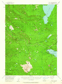
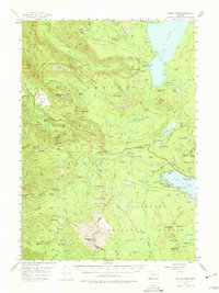
Waldo Lake and the high wilderness of the Cascade Range dominate this mid-century survey, a landscape defined by volcanic peaks and high-elevation waters. The Southern Pacific Railroad winds through the difficult terrain, passing through the critical transportation hub at Cascade Summit and serving small settlements like Heather and Frazier. The map captures a moment when this area was primarily a destination for backcountry recreation and forestry, evidenced by numerous outposts like Beamer Ranch and Eagle Camp.
Find a feature on this map
124 named features on this map. Tap any name to fly to it.
Don’t see what you’re looking for? This feature index may not catch every label — zoom into the map to look around manually.
Map Details
Editions of this 1956 Waldo Lake Map
3 editions found
Other maps of this area

1917 · Diamond Lake
USGS Topo · 1:125,000

1925 · Waldo Lake
USGS Topo · 1:125,000

1930 · Maiden Peak
USGS Topo · 1:125,000

1934 · Maiden Peak
USGS Topo · 1:125,000

1935 · Chemult
USGS Topo · 1:96,000

1941 · Chemult
USGS Topo · 1:125,000

1955 · Chucksney Mtn
USGS Topo · 1:62,500

1955 · Crescent
USGS Topo · 1:250,000

1956 · Toketee Falls
USGS Topo · 1:62,500

1956 · Summit Lake
USGS Topo · 1:62,500