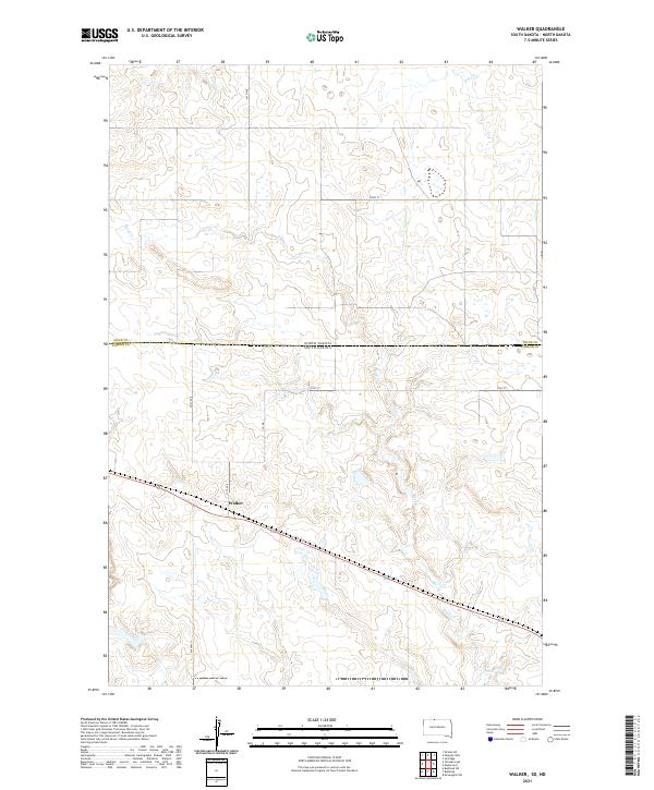
2021 Map of Walker
USGS Topo · Published 2021About this map
Walker sits at the heart of this high-plains landscape, where the state boundary between North Dakota and South Dakota intersects with the line dividing Sioux and Corson counties. The terrain is defined by the winding paths of Oak Cr in the north and the extensive reach of Rock Cr, which snakes through the southern half of the quadrangle. This 2021 survey illustrates a sparse settlement pattern connected by a network of rural routes, including BIA Hwy 21 and locally named roads like Hoot St and 101st St. The map provides a precise look at the township and range system, showing the transition between t129n r83w and t129n r82w alongside the natural drainage basins that dictate the placement of local infrastructure like 1st Ave E and 251st Ave.
Find a feature on this map
17 named features on this map. Tap any name to fly to it.
Don’t see what you’re looking for? This feature index may not catch every label — zoom into the map to look around manually.
Map Details
Editions of this 2021 Walker Map
This is the sole edition of this map. No revisions or reprints were ever made.
Other maps of this area

1953 · McIntosh
USGS Topo · 1:250,000

1954 · Bismarck
USGS Topo · 1:250,000

1956 · Bullhead
USGS Topo · 1:24,000

1956 · Bullhead SW
USGS Topo · 1:24,000

1958 · Bismarck
USGS Topo · 1:250,000

1958 · McIntosh
USGS Topo · 1:250,000

1971 · Shields SW
USGS Topo · 1:24,000

1971 · Selfridge
USGS Topo · 1:24,000

1971 · Pamplin Hills
USGS Topo · 1:24,000

1971 · McLaughlin SW
USGS Topo · 1:24,000
Featured Places
- Walker, Rock Creek District
- Rock Creek District, SD
- Porcupine District, ND
- Corson County, SD
- Sioux County, ND