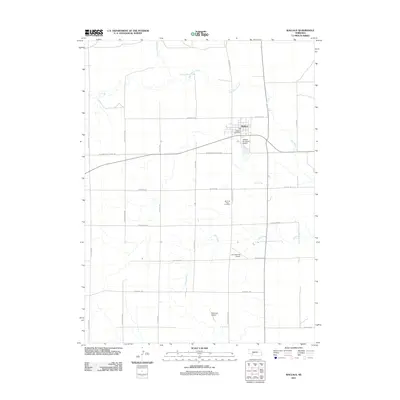
2011 Map of Wallace
USGS Topo · Published 2011About this map
The village of Wallace serves as the focal point of this southwestern Lincoln County survey, situated where the high plains meet the intricate drainage systems of Red Willow Creek and Dry Creek. The landscape is defined by a rigorous grid of section-line roads, including S Blackwood Rd and W Medicine Rd, reflecting the enduring structure of Great Plains agriculture. Local aviation is particularly prominent, with three distinct facilities—Wallace Municipal Airport, Van Boening Airport, and Bartmess Airport—serving the surrounding ranching and farming community. Genealogists can locate the Morning View Cemetery south of the village, while the Wallace Post Office remains the central hub for this rural Nebraska settlement. The terrain transitions from the broader creek valleys to the flat uplands, where roads like S W Co Line Rd mark the boundary of this prairie region.
Find a feature on this map
22 named features on this map. Tap any name to fly to it.
Don’t see what you’re looking for? This feature index may not catch every label — zoom into the map to look around manually.
Map Details
Editions of this 2011 Wallace Map
This is the sole edition of this map. No revisions or reprints were ever made.
Other maps of this area

1954 · McCook
USGS Topo · 1:250,000

1957 · McCook
USGS Topo · 1:250,000

1958 · McCook
USGS Topo · 1:250,000
1973 · Grainton
USGS Topo · 1:24,000

1973 · Dittons Creek NE
USGS Topo · 1:24,000

1973 · Suttlers Canyon West
USGS Topo · 1:24,000
1973 · Wallace NE
USGS Topo · 1:24,000
1973 · Melton Ranch Airport
USGS Topo · 1:24,000
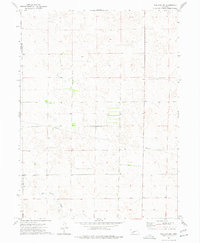
1973 · Wallace NW
USGS Topo · 1:24,000
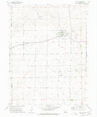
1973 · Wallace
USGS Topo · 1:24,000