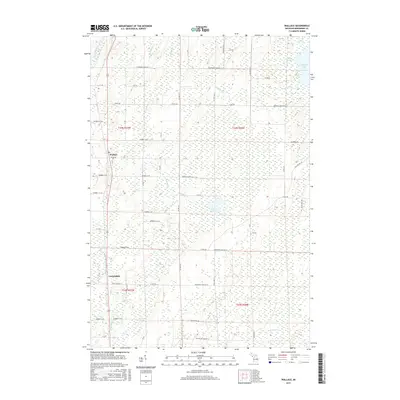
2017 Map of Wallace
USGS Topo · Published 2017About this map
Wallace and Carbondale anchor the western edge of this Menominee County landscape, situated along the north-south transit corridor of the modern era. The terrain is defined by a dense network of waterways and wetlands, where the Little Cedar River and Little River wind through the interior, fed by numerous smaller streams like Lindberg Cr and Hanson Cr. This drainage pattern supports several localized water bodies, including Hayward Lake, Hanson Lake, and the smaller Myers Lake to the north.
Find a feature on this map
63 named features on this map. Tap any name to fly to it.
Don’t see what you’re looking for? This feature index may not catch every label — zoom into the map to look around manually.
Map Details
Editions of this 2017 Wallace Map
This is the sole edition of this map. No revisions or reprints were ever made.
Other maps of this area

1939 · Marinette
USGS Topo · 1:48,000

1949 · Stephenson
USGS Topo · 1:48,000

1954 · Escanaba
USGS Topo · 1:250,000

1957 · Escanaba
USGS Topo · 1:250,000

1958 · Escanaba
USGS Topo · 1:250,000

1961 · Chambers Island
USGS Topo · 1:62,500

1963 · Cedar River
USGS Topo · 1:62,500
1963 · Birch Creek
USGS Topo · 1:24,000
1963 · Chappee Rapids
USGS Topo · 1:24,000

1963 · Stephenson
USGS Topo · 1:62,500