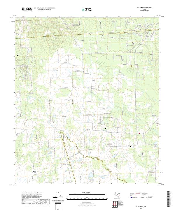
2022 Map of Waller NW
USGS Topo · Published 2022This historical map portrays the area of Waller NW in 2022, primarily covering Waller County as well as portions of Harris County and Grimes County. Featuring a scale of 1:24000, this map provides a highly detailed snapshot of the terrain, roads, buildings, counties, and historical landmarks in the Waller NW region at the time. Published in 2022, it is the sole known edition of this map.
Map Details
Editions of this 2022 Waller NW Map
This is the sole edition of this map. No revisions or reprints were ever made.
Historical Maps of Grimes County Through Time
10 maps found
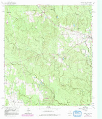
1960 Sunny Side
Waller County, TX
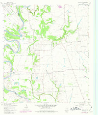
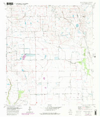
1960 Waller NW
Waller County, TX
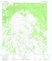
1961 Howth
Waller County, TX
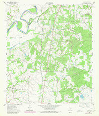
1962 Magnolia West
Waller County, TX
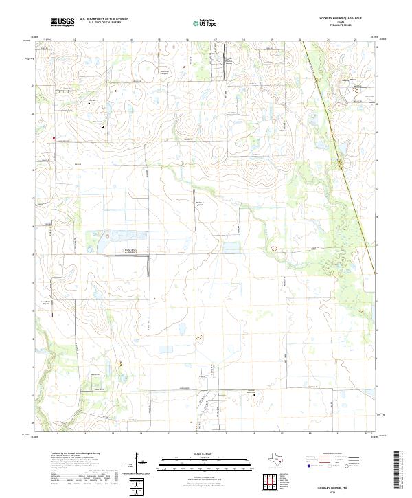
1971 Hockley Mound
Waller County, TX
2022 Hockley Mound
Waller County, TX
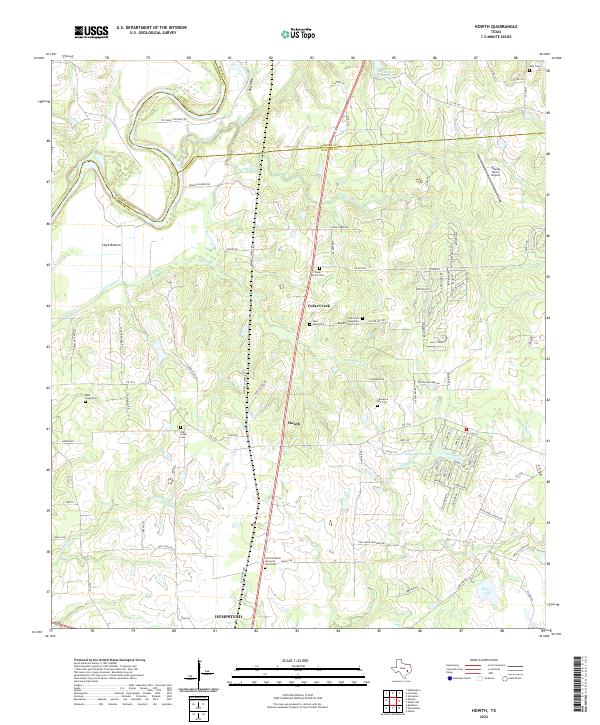
2022 Howth
Waller County, TX
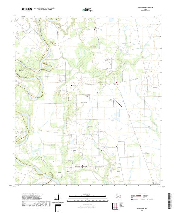
2022 Sunny Side
Waller County, TX
2022 Waller NW
Waller County, TX
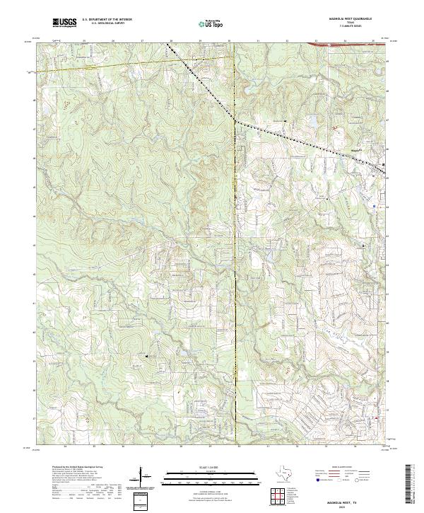
2023 Magnolia West
Waller County, TX