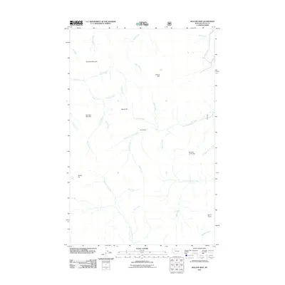
2011 Map of Walling Reef
USGS Topo · Published 2011About this map
Walling Reef and Hurricane Mountain define the prominent vertical geography of this Teton County landscape, where the Rocky Mountain Front meets the plains. The drainage network is dense and complex, characterized by the North Fork Teton River in the south and various branches of the Dupuyer Creek system. Many features carry descriptive local names such as Bum Shot Mountain, Old Man of the Hills, and Bloody Hill, suggesting a history of hunting and early frontier encounters. The watercourses, including Fright Creek, Happy Creek, and Phone Creek, illustrate a territory that was likely named by early surveyors or ranchers based on specific incidents or environmental traits. This 2011 survey serves as a modern record of the hydrologic and topographic layout of the region before significant contemporary changes in land management.
Find a feature on this map
29 named features on this map. Tap any name to fly to it.
Don’t see what you’re looking for? This feature index may not catch every label — zoom into the map to look around manually.
Map Details
Editions of this 2011 Walling Reef Map
This is the sole edition of this map. No revisions or reprints were ever made.
Other maps of this area

1903 · Saypo
USGS Topo · 1:125,000

1914 · Heart Butte
USGS Topo · 1:125,000

1918 · Heart Butte
USGS Topo · 1:125,000

1955 · Choteau
USGS Topo · 1:250,000

1957 · Choteau
USGS Topo · 1:250,000

1958 · Choteau
USGS Topo · 1:250,000

1958 · Cave Mountain
USGS Topo · 1:24,000

1958 · Porphyry Reef
USGS Topo · 1:24,000

1958 · Mount Wright
USGS Topo · 1:24,000

1960 · Cut Bank
USGS Topo · 1:250,000