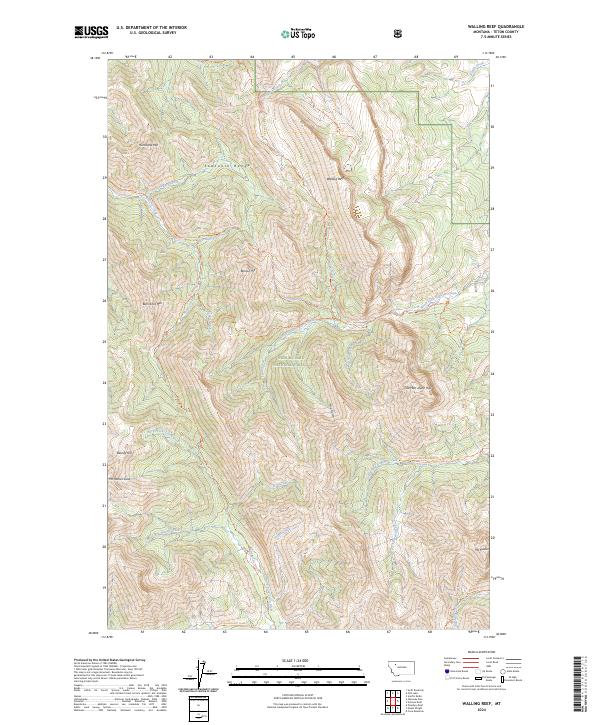
2024 Map of Walling Reef
USGS Topo · Published 2024About this map
The Sawtooth Range dominates this landscape along the eastern edge of the Bob Marshall Wilderness and Lewis & Clark National Forest. The dramatic limestone formation of Walling Reef stands as a primary landmark, overlooking a network of drainages including North Fork Dupuyer Creek and Washout Creek. This high-altitude terrain is characterized by steep peaks such as Hurricane Mtn, Mt Patrick Gass, and the curiously named Bum Shot Mtn.
Find a feature on this map
50 named features on this map. Tap any name to fly to it.
Don’t see what you’re looking for? This feature index may not catch every label — zoom into the map to look around manually.
Map Details
Editions of this 2024 Walling Reef Map
This is the sole edition of this map. No revisions or reprints were ever made.
Other maps of this area

1903 · Saypo
USGS Topo · 1:125,000

1914 · Heart Butte
USGS Topo · 1:125,000

1918 · Heart Butte
USGS Topo · 1:125,000

1955 · Choteau
USGS Topo · 1:250,000

1957 · Choteau
USGS Topo · 1:250,000

1958 · Choteau
USGS Topo · 1:250,000

1958 · Cave Mountain
USGS Topo · 1:24,000

1958 · Porphyry Reef
USGS Topo · 1:24,000

1958 · Mount Wright
USGS Topo · 1:24,000

1960 · Cut Bank
USGS Topo · 1:250,000