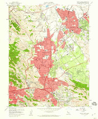
1959 Map of Walnut Creek
USGS Topo · Published 1960About this map
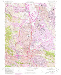
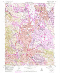
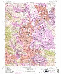
Concord and Pleasant Hill dominate this late 1950s landscape, reflecting a period of significant suburban expansion in central Contra Costa County. The map documents a dense network of local schools such as Mt Diablo H S and Acalanes HS, alongside the emerging campus of Diablo Valley College. Vital infrastructure like the Contra Costa Canal and the Mokelumne Aqueduct cut through the terrain, while Buchanan Field and the Arnold Industrial Highway highlight the era's focus on transportation and regional connectivity.
Find a feature on this map
83 named features on this map. Tap any name to fly to it.
Don’t see what you’re looking for? This feature index may not catch every label — zoom into the map to look around manually.
Map Details
Editions of this 1959 Walnut Creek Map
7 editions found
Other maps of this area

1896 · Carquinez Strait
USGS Topo · 1:62,500

1896 · Mt. Diablo
USGS Topo · 1:62,500

1897 · Concord
USGS Topo · 1:62,500

1898 · Karquines
USGS Topo · 1:62,500

1898 · Mt. Diablo
USGS Topo · 1:62,500

1901 · Karquines
USGS Topo · 1:62,500

1902 · Napa
USGS Topo · 1:125,000

1907 · Antioch
USGS Topo · 1:62,500

1908 · Antioch
USGS Topo · 1:62,500

1915 · Concord
USGS Topo · 1:62,500