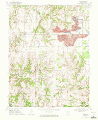
1970 Map of Walsh
USGS Topo · Published 1972About this map
Walsh and Schuline anchor this 1970 landscape, where the agricultural order of Randolph County meets large-scale industrial surface mining. A sprawling Strip Mine dominates the northeastern corner, its terraced topography providing a stark contrast to the natural drainage of Plum Creek and Ninemile Creek. The Missouri Illinois railroad cuts through the center of the sheet, reflecting the vital transport infrastructure that served both local settlements and extractive industries.
Find a feature on this map
19 named features on this map. Tap any name to fly to it.
Don’t see what you’re looking for? This feature index may not catch every label — zoom into the map to look around manually.
Map Details
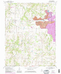
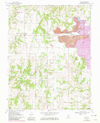
Editions of this 1970 Walsh Map
3 editions found
Other maps of this area

1912 · Baldwin
USGS Topo · 1:62,500

1914 · Baldwin
USGS Topo · 1:62,500

1914 · Coulterville
USGS Topo · 1:62,500

1915 · Chester
USGS Topo · 1:62,500

1916 · Campbell Hill
USGS Topo · 1:62,500

1917 · Coulterville
USGS Topo · 1:62,500

1918 · Campbell Hill
USGS Topo · 1:62,500

1942 · Baldwin
USGS Topo · 1:62,500

1947 · Chester
USGS Topo · 1:62,500

1949 · Paducah
USGS Topo · 1:250,000