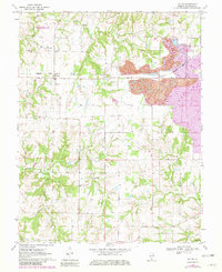
1970 Map of Walsh
USGS Topo · Published 1982About this map
Strip mining operations dominate the eastern landscape of Randolph County in this 1970s survey, showing both active extraction zones and a Reclaimed Strip Mine near Schuline. The Missouri Pacific railroad cuts through the center of the sheet, serving the small agricultural and industrial settlements of Walsh and Preston. Local genealogy is well-documented through several family and community burial grounds, including Lively Cem, Preston Cem, and Hughes Cem. The landscape is further defined by a complex drainage system where Ninemile Creek and Butter Creek feed toward the Marys R. In the northwest, the Kaskaskia River State Fish and Wildlife Area protects the bottomlands along Plum Creek, illustrating the balance between resource extraction and conservation in this part of Illinois.
Find a feature on this map
24 named features on this map. Tap any name to fly to it.
Don’t see what you’re looking for? This feature index may not catch every label — zoom into the map to look around manually.
Map Details
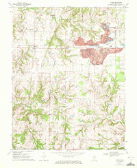
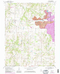
Editions of this 1970 Walsh Map
3 editions found
Other maps of this area

1912 · Baldwin
USGS Topo · 1:62,500

1914 · Baldwin
USGS Topo · 1:62,500

1914 · Coulterville
USGS Topo · 1:62,500

1915 · Chester
USGS Topo · 1:62,500

1916 · Campbell Hill
USGS Topo · 1:62,500

1917 · Coulterville
USGS Topo · 1:62,500

1918 · Campbell Hill
USGS Topo · 1:62,500

1942 · Baldwin
USGS Topo · 1:62,500

1947 · Chester
USGS Topo · 1:62,500

1949 · Paducah
USGS Topo · 1:250,000