
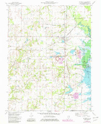
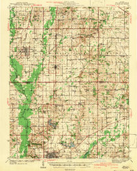
1975 Map of Waltonville
USGS Topo · Published 1977About this map
The heavy industry of southern Jefferson County is on full display in the mid-1970s, characterized by expansive coal operations like the Orient No 3 Mine and Orient No 6 Mine. This landscape is deeply shaped by the extraction economy, with large Tailings Ponds and the Inland Mine sitting adjacent to the rail lines of the Burlington Northern and Illinois Central Gulf. These railroads converge near the village of Waltonville, which serves as a central hub for the surrounding townships of Blissville and McClellan.
Find a feature on this map
50 named features on this map. Tap any name to fly to it.
Don’t see what you’re looking for? This feature index may not catch every label — zoom into the map to look around manually.
Map Details
Editions of this 1975 Waltonville Map
2 editions found
Other maps of this area

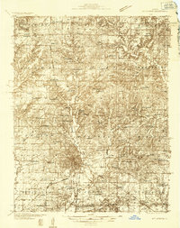
1926 · Duquoin
USGS Topo · 1:62,500
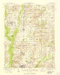
1933 · Mount Vernon
USGS Topo · 1:48,000
1939 · Ina
USGS Topo · 1:62,500
1940 · Mount Vernon
USGS Topo · 1:62,500
1943 · Ina
USGS Topo · 1:62,500

1943 · Ashley
USGS Topo · 1:62,500

1946 · Ashley
USGS Topo · 1:62,500

1958 · Belleville
USGS Topo · 1:250,000

1962 · Belleville
USGS Topo · 1:250,000
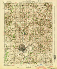
1965 · Mount Vernon
USGS Topo · 1:24,000