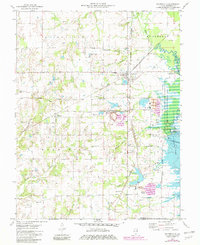
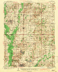
1975 Map of Waltonville
USGS Topo · Published 1982About this map
Waltonville sits at a busy junction of the Burlington Northern and Missouri Pacific railroads, serving as a hub for the coal industry and surrounding agricultural townships of Blissville and Bald Hill. The 1970s landscape is defined by extensive coal mining operations, notably the Orient No 3 Mine and Orient No 6 Mine, which feature large Tailings Ponds and specialized industrial infrastructure. To the east, the Big Muddy River basin has been transformed by the development of Rend Lake, with the Rend Lake State Waterfowl Management Area and the Nason Public Use Area indicating the era's shift toward managed conservation and recreation. For genealogists, the map preserves numerous rural burial sites including Stevens Cem, Dryden Cem, and St Barbara Cem near the small settlement of Scheller.
Find a feature on this map
49 named features on this map. Tap any name to fly to it.
Don’t see what you’re looking for? This feature index may not catch every label — zoom into the map to look around manually.
Map Details
Editions of this 1975 Waltonville Map
2 editions found

Other maps of this area

1926 · Duquoin
USGS Topo · 1:62,500
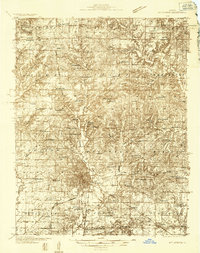
1933 · Mount Vernon
USGS Topo · 1:48,000
1939 · Ina
USGS Topo · 1:62,500
1940 · Mount Vernon
USGS Topo · 1:62,500
1943 · Ina
USGS Topo · 1:62,500

1943 · Ashley
USGS Topo · 1:62,500

1946 · Ashley
USGS Topo · 1:62,500

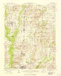
1958 · Belleville
USGS Topo · 1:250,000

1962 · Belleville
USGS Topo · 1:250,000
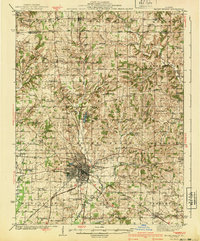
1965 · Mount Vernon
USGS Topo · 1:24,000