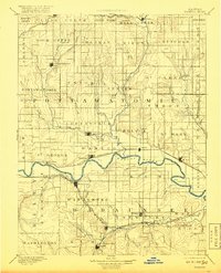
1894 Map of Wamego
USGS Topo · Published 1918About this map
The Kansas River meanders across this late 19th-century landscape, serving as the central artery for a region defined by its competing railroad lines and river-bottom settlements. Surveyor W. J. Peters documented a dense network of townships and small towns during the mid-1880s, capturing the area as the Union Pacific Railroad and the Chicago Rock Island & Pacific Railroad established their respective corridors through Pottawatomie and Wabaunsee counties.
Find a feature on this map
85 named features on this map. Tap any name to fly to it.
Don’t see what you’re looking for? This feature index may not catch every label — zoom into the map to look around manually.
Map Details
Editions of this 1894 Wamego Map
5 editions found

Other maps of this area

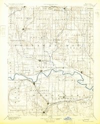
1885 · Eskridge
USGS Topo · 1:125,000

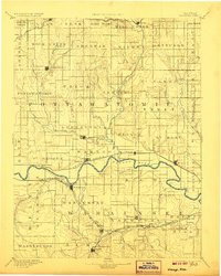
1886 · Junction City
USGS Topo · 1:125,000

1888 · Hiawatha
USGS Topo · 1:125,000

1889 · Burlingame
USGS Topo · 1:125,000

1889 · Seneca
USGS Topo · 1:125,000

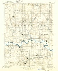
1889 · Wamego
USGS Topo · 1:125,000

1889 · Marysville
USGS Topo · 1:125,000

1889 · Junction City
USGS Topo · 1:125,000

1889 · Parkerville
USGS Topo · 1:125,000

1889 · Eskridge
USGS Topo · 1:125,000