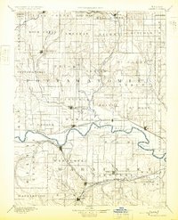
1894 Map of Wamego
USGS Topo · Published 1925About this map
The Kansas River valley serves as the central artery for this late 19th-century landscape, anchoring a network of rail-side towns and agricultural townships. The river's winding course is traced by the Union Pacific RR, connecting settlements like Wamego and St Mary. To the north, the Vermillion River drains the Pottawatomie plains, passing through Louisville on its way to meet the larger Kansas system. The map captures a moment when rail expansion was at its peak, shown by the intersection of lines like the Atchison Topeka & Santa Fe Railroad and the Chicago Rock Island & Pacific Railroad further south near Alma.
Find a feature on this map
82 named features on this map. Tap any name to fly to it.
Don’t see what you’re looking for? This feature index may not catch every label — zoom into the map to look around manually.
Map Details
Editions of this 1894 Wamego Map
5 editions found

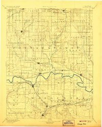
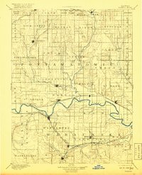
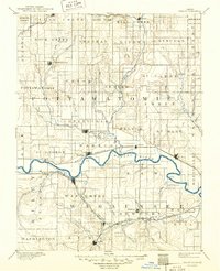
Other maps of this area

1885 · Eskridge
USGS Topo · 1:125,000

1886 · Junction City
USGS Topo · 1:125,000

1888 · Hiawatha
USGS Topo · 1:125,000

1889 · Burlingame
USGS Topo · 1:125,000

1889 · Seneca
USGS Topo · 1:125,000

1889 · Wamego
USGS Topo · 1:125,000

1889 · Marysville
USGS Topo · 1:125,000

1889 · Junction City
USGS Topo · 1:125,000

1889 · Parkerville
USGS Topo · 1:125,000

1889 · Eskridge
USGS Topo · 1:125,000