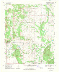
1969 Map of Wapanucka North
USGS Topo · Published 1971About this map
The Old Indian Treaty Boundary carves a straight line through this late 1960s landscape, marking a historical divide in Johnston and Coal Counties. The Kansas Oklahoma and Gulf Railroad serves as the primary industrial artery, connecting the settlements of Clarita and Bromide to Bromide Junction further south. Genealogists and local historians will find significant detail in the presence of several rural burial grounds, including Moore Cem, Rose Hill Cem, and Wells Valley Cem.
Find a feature on this map
32 named features on this map. Tap any name to fly to it.
Don’t see what you’re looking for? This feature index may not catch every label — zoom into the map to look around manually.
Map Details
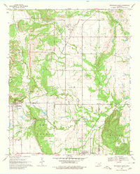
Editions of this 1969 Wapanucka North Map
2 editions found
Other maps of this area

1896 · Coalgate
USGS Topo · 1:125,000

1899 · Coalgate
USGS Topo · 1:125,000

1899 · Atoka
USGS Topo · 1:125,000

1900 · Atoka
USGS Topo · 1:125,000

1900 · Coalgate
USGS Topo · 1:125,000

1901 · Stonewall
USGS Topo · 1:125,000

1901 · Tishomingo
USGS Topo · 1:125,000

1957 · Centrahoma
USGS Topo · 1:24,000

1957 · Ardmore
USGS Topo · 1:250,000

1963 · Ardmore
USGS Topo · 1:250,000