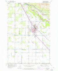
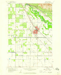
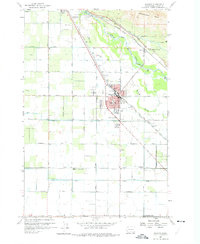
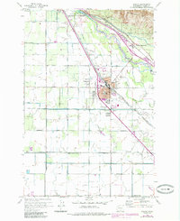
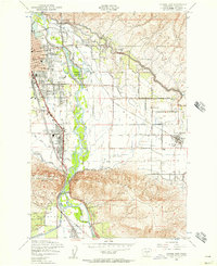
1958 Map of Wapato
USGS Topo · Published 1975About this map
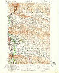
The Yakima Indian Reservation Boundary bisects this agricultural region of the Yakima Valley, where the town of Wapato serves as a central hub. The landscape is defined by an intricate network of irrigation, including the Sunnyside Canal, numerous siphons, and an engineered series of ditches such as Drain 2 and Drain 3 that sustain the local orchards. The Yakima River winds through the northeast, shadowed by the Rattlesnake Hills and the Wanity Slough.
Find a feature on this map
44 named features on this map. Tap any name to fly to it.
Don’t see what you’re looking for? This feature index may not catch every label — zoom into the map to look around manually.
Map Details
Editions of this 1958 Wapato Map
4 editions found
Other maps of this area

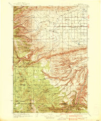
1899 · Ellensburg
USGS Topo · 1:125,000

1901 · Ellensburg
USGS Topo · 1:125,000

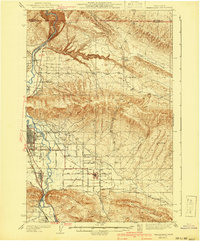
1910 · Zillah
USGS Topo · 1:125,000

1936 · Yakima East
USGS Topo · 1:48,000
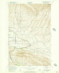
1937 · White Swan
USGS Topo · 1:125,000
1941 · Yakima East
USGS Topo · 1:62,500

1950 · Yakima
USGS Topo · 1:250,000
1953 · Elephant Mountain
USGS Topo · 1:24,000
1953 · Yakima East
USGS Topo · 1:24,000
1953 · Yakima East
USGS Topo · 1:62,500