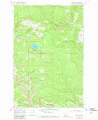
1965 Map of Wapiti Lake
USGS Topo · Published 1982About this map
Lolo National Forest dominates this mid-1960s terrain in Missoula County, where the southern boundary of the Flathead Indian Reservation crosses high alpine ridges. The landscape is defined by its glacial hydrology, featuring a chain of high-elevation water bodies including Wapiti Lake, Fly Lake, and Boulder Lake. To the south, the Mineral Peak Lookout Tower stands as a sentinel over the drainage basins of Rattlesnake Creek and Gold Creek. The mapping reveals a transition from the structured Flathead Indian Reservation Boundary in the north to the primitive watershed of Farmers Lakes in the south. This era of mapping shows the wilderness before modern access increased, preserving the locations of remote meadows like Gold Creek Meadows and the headwaters of the South Fork Jocko River.
Find a feature on this map
20 named features on this map. Tap any name to fly to it.
Don’t see what you’re looking for? This feature index may not catch every label — zoom into the map to look around manually.
Map Details
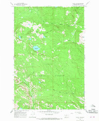
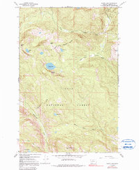
Editions of this 1965 Wapiti Lake Map
3 editions found
Other maps of this area

1903 · Bonner
USGS Topo · 1:125,000

1921 · Elbow Lake
USGS Topo · 1:125,000

1947 · Butte
USGS Topo · 1:250,000

1955 · Choteau
USGS Topo · 1:250,000

1957 · Choteau
USGS Topo · 1:250,000

1958 · Butte
USGS Topo · 1:250,000

1958 · Choteau
USGS Topo · 1:250,000

1960 · Butte
USGS Topo · 1:250,000

1962 · Choteau
USGS Topo · 1:250,000

1962 · Butte
USGS Topo · 1:250,000