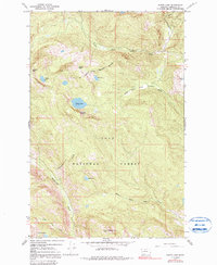
1965 Map of Wapiti Lake
USGS Topo · Published 1991About this map
The Flathead Indian Reservation Boundary cuts across the northern reaches of this mountain landscape, marking a significant legal and geographic divide within the Lolo National Forest. The terrain is defined by its glacial hydrology, with Boulder Lake, Wapiti Lake, and the remote Formers Lakes tucked into high basins. High-altitude drainage systems like the South Fork Jocko River and Rattlesnake Creek flow from these peaks, illustrating the complex watershed patterns of Missoula County in the mid-1960s.
Find a feature on this map
20 named features on this map. Tap any name to fly to it.
Don’t see what you’re looking for? This feature index may not catch every label — zoom into the map to look around manually.
Map Details
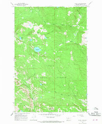
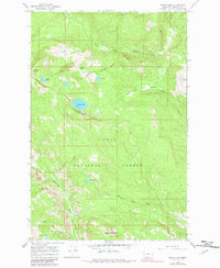
Editions of this 1965 Wapiti Lake Map
3 editions found
Other maps of this area

1903 · Bonner
USGS Topo · 1:125,000

1921 · Elbow Lake
USGS Topo · 1:125,000

1947 · Butte
USGS Topo · 1:250,000

1955 · Choteau
USGS Topo · 1:250,000

1957 · Choteau
USGS Topo · 1:250,000

1958 · Butte
USGS Topo · 1:250,000

1958 · Choteau
USGS Topo · 1:250,000

1960 · Butte
USGS Topo · 1:250,000

1962 · Choteau
USGS Topo · 1:250,000

1962 · Butte
USGS Topo · 1:250,000