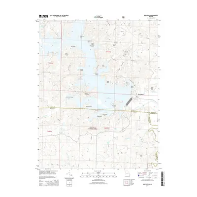
2015 Map of Wappapello
USGS Topo · Published 2015About this map
Lake Wappapello dominates this section of southeast Missouri, where its winding shoreline creates numerous named peninsulas and inlets such as Sanderson Point, Ferry Point, and Allison Peninsula. The rugged topography is defined by narrow valleys like Asher Creek Valley and numerous hollows that drain into the reservoir. Much of the southern portion of the quadrangle is protected within the Mark Twain National Forest, preserving the wooded character of Lone Star Ridge and the Saint Francis River corridor. For genealogists and local historians, the map identifies specific points of interest such as Chaonia Cemetery and Kelly Cemetery, located near the settlement of Wappapello. This 2015 survey provides a modern view of the road network, including Oak Tree Rd and Peoples Creek Rd, which navigate the complex terrain of Divide Ridge and Butter Shell Hill.
Find a feature on this map
79 named features on this map. Tap any name to fly to it.
Don’t see what you’re looking for? This feature index may not catch every label — zoom into the map to look around manually.
Map Details
Editions of this 2015 Wappapello Map
This is the sole edition of this map. No revisions or reprints were ever made.
Other maps of this area

1934 · Greenville
USGS Topo · 1:62,500

1934 · Puxico
USGS Topo · 1:62,500

1935 · Poplar Bluff
USGS Topo · 1:62,500

1935 · Zalma
USGS Topo · 1:62,500

1939 · Greenville
USGS Topo · 1:62,500

1939 · Puxico
USGS Topo · 1:62,500

1939 · Zalma
USGS Topo · 1:62,500

1939 · Poplar Bluff
USGS Topo · 1:62,500

1949 · Rolla
USGS Topo · 1:250,000

1949 · Poplar Bluff
USGS Topo · 1:62,500