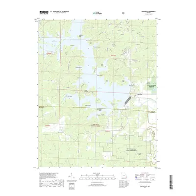
2017 Map of Wappapello
USGS Topo · Published 2017About this map
Lake Wappapello dominates the landscape of Wayne County, its sprawling shoreline defined by numerous points and hollows like Sanderson Point, Ferguson Hollow, and Allison Peninsula. This 2017 survey details a region where water management and conservation are central, showcasing the Saint Francis River and the eastern fringes of the Mark Twain National Forest. The map captures the small community of Wappapello near the lake's southern reaches, situated just north of the Wayne and Butler County line.
Find a feature on this map
96 named features on this map. Tap any name to fly to it.
Don’t see what you’re looking for? This feature index may not catch every label — zoom into the map to look around manually.
Map Details
Editions of this 2017 Wappapello Map
This is the sole edition of this map. No revisions or reprints were ever made.
Other maps of this area

1934 · Greenville
USGS Topo · 1:62,500

1934 · Puxico
USGS Topo · 1:62,500

1935 · Poplar Bluff
USGS Topo · 1:62,500

1935 · Zalma
USGS Topo · 1:62,500

1939 · Greenville
USGS Topo · 1:62,500

1939 · Puxico
USGS Topo · 1:62,500

1939 · Zalma
USGS Topo · 1:62,500

1939 · Poplar Bluff
USGS Topo · 1:62,500

1949 · Rolla
USGS Topo · 1:250,000

1949 · Poplar Bluff
USGS Topo · 1:62,500