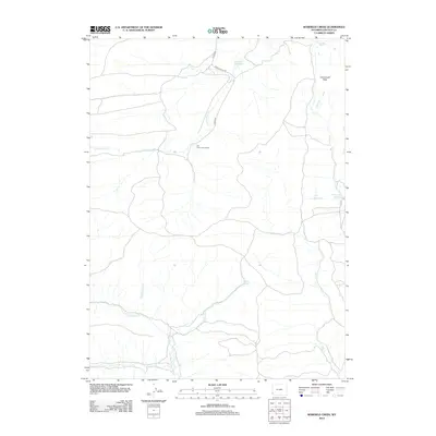
2012 Map of Warfield Creek
USGS Topo · Published 2012About this map
Old Dutch John Ranch serves as a lone historical marker of settlement in this high Wyoming landscape, situated near the intersection of several branching drainage systems. The hydrology of the region is characterized by seasonal water management, evident in the placement of the Richey Reservoir in the north and the Skull Point Reservoir to the east. These features, along with Fmc Reservoir, reflect the importance of water storage in an environment defined by ephemeral streams like Little Muddy Cr and Warfield Cr. Cavanaugh Peak provides a dominant topographical reference point overlooking the complex network of hollows and creeks. The presence of Warfield Springs suggests a natural water source that likely influenced the early traversal and naming of this area long before modern surveying.
Find a feature on this map
13 named features on this map. Tap any name to fly to it.
Don’t see what you’re looking for? This feature index may not catch every label — zoom into the map to look around manually.
Map Details
Editions of this 2012 Warfield Creek Map
This is the sole edition of this map. No revisions or reprints were ever made.
Other maps of this area

1954 · Sage
USGS Topo · 1:62,500

1954 · Ogden
USGS Topo · 1:250,000

1954 · Kemmerer
USGS Topo · 1:62,500

1958 · Ogden
USGS Topo · 1:250,000

1960 · Ogden
USGS Topo · 1:250,000

1962 · Bell Butte NE
USGS Topo · 1:24,000

1962 · Cumberland Gap
USGS Topo · 1:24,000

1962 · Elkol SW
USGS Topo · 1:24,000

1962 · Elkol
USGS Topo · 1:24,000

1962 · Warfield Creek
USGS Topo · 1:24,000