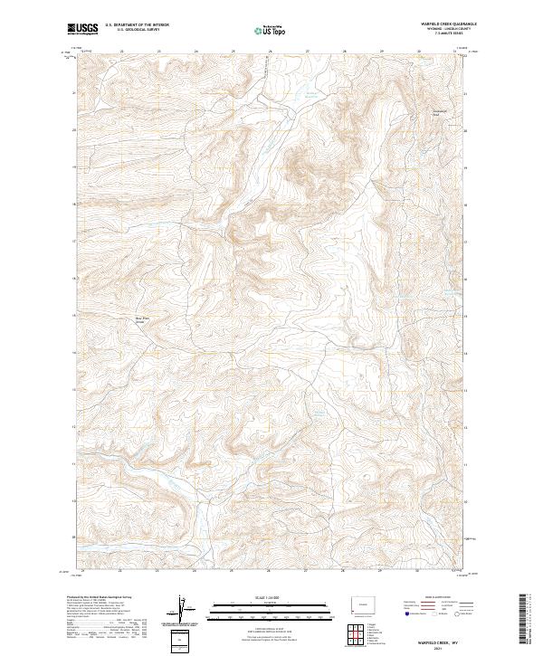
2021 Map of Warfield Creek
USGS Topo · Published 2021About this map
Bear River Divide serves as the dominant topographical feature in this high-altitude section of Lincoln County, defining the watershed patterns of the surrounding landscape. The drainage network is particularly intricate here, with the Twin Creek South Fork and S Fork Twin Cr carving through the northern ridges while Warfield Cr and Little Muddy Cr navigate the southern basins. This 2021 survey illustrates a region where water management is central to the land's utility, evidenced by several strategically placed basins like Richey Reservoir and Skull Point Reservoir. Elevated landmarks such as Cavanaugh Peak provide significant navigational points for those traversing the remote terrain via Co Rd 328. The presence of Warfield Springs suggests reliable natural water sources that have likely influenced land use in this part of the Wyoming interior for generations.
Find a feature on this map
19 named features on this map. Tap any name to fly to it.
Don’t see what you’re looking for? This feature index may not catch every label — zoom into the map to look around manually.
Map Details
Editions of this 2021 Warfield Creek Map
This is the sole edition of this map. No revisions or reprints were ever made.
Other maps of this area

1954 · Sage
USGS Topo · 1:62,500

1954 · Ogden
USGS Topo · 1:250,000

1954 · Kemmerer
USGS Topo · 1:62,500

1958 · Ogden
USGS Topo · 1:250,000

1960 · Ogden
USGS Topo · 1:250,000

1962 · Bell Butte NE
USGS Topo · 1:24,000

1962 · Cumberland Gap
USGS Topo · 1:24,000

1962 · Elkol SW
USGS Topo · 1:24,000

1962 · Elkol
USGS Topo · 1:24,000

1962 · Warfield Creek
USGS Topo · 1:24,000