
1891 Map of Warfield
USGS Topo · Published 1891About this map
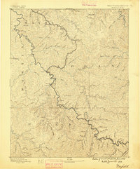
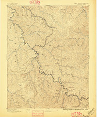
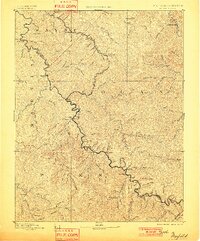
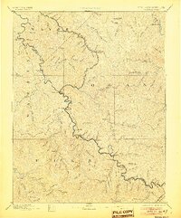
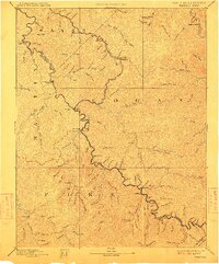
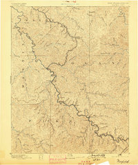
Tug Fork of Chattarawa River serves as the central artery and political boundary for this 1880s survey, separating Martin and Pike counties in Kentucky from Wayne and Logan counties in West Virginia. The terrain is defined by a dense network of watercourses and high ridges, where settlements like Warfield and White Post sit along the winding riverbanks. The map reveals an early industrial footprint in the Appalachian interior, notably at Copperas Mine Fork, while rural life is anchored by family-named localities such as Hatfield and Mate. Numerous drainages, including Jennies Creek, Marrowbone Creek, and Johns Creek, dictate the movement and settlement patterns of the region's inhabitants long before modern road systems reshaped the Appalachian landscape.
Find a feature on this map
73 named features on this map. Tap any name to fly to it.
Don’t see what you’re looking for? This feature index may not catch every label — zoom into the map to look around manually.
Map Details
Editions of this 1891 Warfield Map
7 editions found
Other maps of this area

1886 · Prestonsburg
USGS Topo · 1:125,000

1886 · Grundy
USGS Topo · 1:125,000

1887 · Warfield
USGS Topo · 1:125,000

1890 · Whitesburg
USGS Topo · 1:125,000

1890 · Grundy
USGS Topo · 1:125,000

1891 · Tazewell
USGS Topo · 1:125,000

1891 · Oceana
USGS Topo · 1:125,000

1892 · Grundy
USGS Topo · 1:125,000

1892 · Whitesburg
USGS Topo · 1:125,000

1892 · Prestonsburg
USGS Topo · 1:125,000