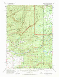
1957 Map of Warm River Butte
USGS Topo · Published 1975About this map
Yellowstone National Park and the adjacent Targhee National Forest define this landscape along the Idaho and Wyoming border during the mid-1950s. The map reveals a high-altitude wilderness managed by a network of outposts, including the Bechler River Ranger Station, the Porcupine Ranger Sta, and the Boundary Creek Patrol Cabin. These stations provided critical oversight for a region punctuated by thermal features like Hot Sprs and dramatic cataracts such as Dunanda Falls.
Find a feature on this map
90 named features on this map. Tap any name to fly to it.
Don’t see what you’re looking for? This feature index may not catch every label — zoom into the map to look around manually.
Map Details
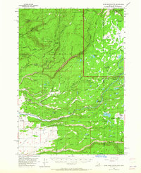
Editions of this 1957 Warm River Butte Map
3 editions found

Other maps of this area

1886 · Shoshone
USGS Topo · 1:125,000

1888 · Shoshone
USGS Topo · 1:125,000

1895 · Shoshone
USGS Topo · 1:125,000

1899 · Grand Teton
USGS Topo · 1:125,000

1901 · Shoshone
USGS Topo · 1:125,000

1901 · Grand Teton
USGS Topo · 1:125,000

1908 · Shoshone
USGS Topo · 1:125,000

1911 · Shoshone
USGS Topo · 1:125,000

1955 · Ashton
USGS Topo · 1:250,000

1955 · Driggs
USGS Topo · 1:250,000