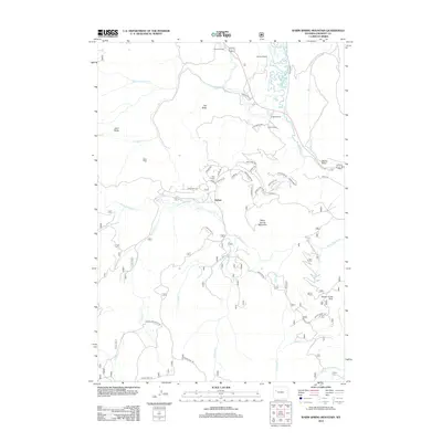
2012 Map of Warm Spring Mountain
USGS Topo · Published 2012About this map
DuNoir sits at the heart of this high-elevation landscape where the Wind River and its numerous tributaries, such as Warm Spring Cr and Crooked Cr, carve through the mountainous terrain. The map reflects a region defined by ranching and timber heritage, evidenced by the presence of Rocker A Ranch, Sheer Ranch, and Smith Sawmill. Landforms like Warm Spring Mountain, Hat Butte, and Sand Butte provide prominent vertical relief across the quadrangle.
Find a feature on this map
50 named features on this map. Tap any name to fly to it.
Don’t see what you’re looking for? This feature index may not catch every label — zoom into the map to look around manually.
Map Details
Editions of this 2012 Warm Spring Mountain Map
This is the sole edition of this map. No revisions or reprints were ever made.
Other maps of this area

1905 · Younts Peak
USGS Topo · 1:125,000

1907 · Younts Peak
USGS Topo · 1:125,000

1909 · Fremont Peak
USGS Topo · 1:125,000

1955 · Thermopolis
USGS Topo · 1:250,000

1956 · Dubois
USGS Topo · 1:24,000

1956 · Esmond Park
USGS Topo · 1:24,000

1956 · Ramshorn Peak
USGS Topo · 1:24,000

1956 · Warm Spring Mountain
USGS Topo · 1:24,000

1956 · Fish Lake
USGS Topo · 1:24,000

1956 · Kisinger Lakes
USGS Topo · 1:24,000