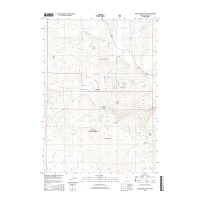
2015 Map of Warm Spring Mountain
USGS Topo · Published 2015About this map
The settlement of Dunoir sits at the northern edge of the Shoshone National Forest, serving as a gateway to a landscape defined by significant elevation changes and numerous watercourses. The Wind River flows through the northern section of the map, fed by a network of drainage systems including Du Noir Creek and Crooked Cr. To the south, the terrain rises sharply toward Warm Spring Mtn, where Warm Spring Canyon and Warm Spring Cr create a complex topography of ridges and valleys. Evidence of the region’s outdoor heritage is found in the presence of the Union Pass Trl and the designated Geyser Creek Park. Geologic landmarks such as Hat Butte and Sand Butte provide distinct navigational points within this high-country environment, while numerous forest roads like Crooked Creek Rd and Wildcat Rd provide access to the remote interior sections of the forest.
Find a feature on this map
49 named features on this map. Tap any name to fly to it.
Don’t see what you’re looking for? This feature index may not catch every label — zoom into the map to look around manually.
Map Details
Editions of this 2015 Warm Spring Mountain Map
This is the sole edition of this map. No revisions or reprints were ever made.
Other maps of this area

1905 · Younts Peak
USGS Topo · 1:125,000

1907 · Younts Peak
USGS Topo · 1:125,000

1909 · Fremont Peak
USGS Topo · 1:125,000

1955 · Thermopolis
USGS Topo · 1:250,000

1956 · Dubois
USGS Topo · 1:24,000

1956 · Esmond Park
USGS Topo · 1:24,000

1956 · Ramshorn Peak
USGS Topo · 1:24,000

1956 · Warm Spring Mountain
USGS Topo · 1:24,000

1956 · Fish Lake
USGS Topo · 1:24,000

1956 · Kisinger Lakes
USGS Topo · 1:24,000