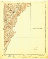
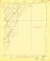
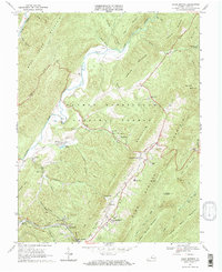
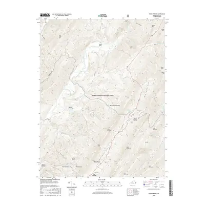
1926 Map of Warm Springs
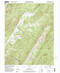
USGS Topo · Published 1930About this map
Allegheny Mountain forms a prominent natural boundary along the state line between West Virginia and Virginia in this 1920s topography. The landscape is defined by a dense network of hollows and ridges, with communities like Minnehaha Springs and Rimel situated along the winding paths of Knapp Creek and its tributaries. Local social life in the early 20th century centered on dispersed institutions such as Westminster Church and a series of rural schoolhouses, including Mt Tabor School, Circle Mtn School, and Sunset School.
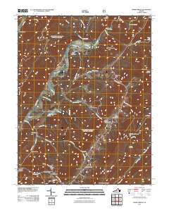
Find a feature on this map
53 named features on this map. Tap any name to fly to it.
Don’t see what you’re looking for? This feature index may not catch every label — zoom into the map to look around manually.
Map Details
Editions of this 1926 Warm Springs Map
5 editions found
Historical Maps of Warm Springs Through Time
11 maps found
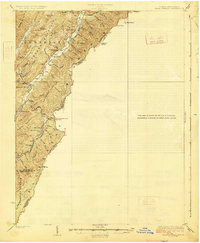
1923 Warm Springs
Bath County, VA
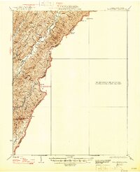
1926 Warm Springs
Bath County, VA
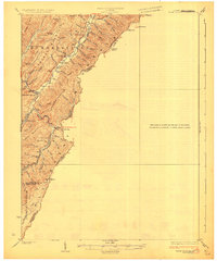
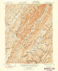
1946 Warm Springs
Bath County, VA
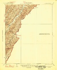
1949 Warm Springs
Bath County, VA
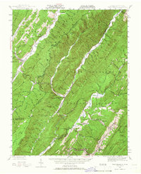
1968 Warm Springs
Bath County, VA
1999 Warm Springs
Bath County, VA
2011 Warm Springs
Bath County, VA
2013 Warm Springs
Bath County, VA
2016 Warm Springs
Bath County, VA
2019 Warm Springs
Bath County, VA
2022 Warm Springs
Bath County, VA