
1926 Map of Warm Springs
USGS Topo · Published 1926About this map
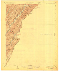
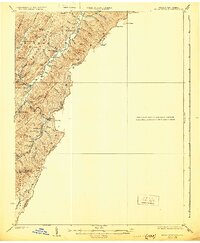
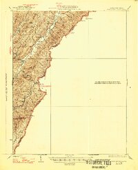
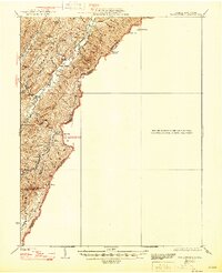
Alleghany Mountain forms the dramatic backbone of this mid-1920s survey, where the state line between West Virginia and Virginia weaves across high ridges and deep gaps. This landscape is defined by the convergence of Pocahontas Co, Greenbrier Co, and Bath Co, creating a secluded network of hollows and runs. The settlement of Minnehaha Springs serves as a local hub near Knapp Creek, while the rural educational and spiritual life of the era is preserved through several small institutions, including Westminster Church, Sunset School, and Browns Creek School. The rugged terrain is evidenced by evocative place names like Mad Tom, Mad Sheep, and Grindstone Knob. The map traces a system of mountain travel through points such as Rider Gap, connecting isolated settlements like Rimel to the broader river valleys defined by Anthony Creek and Meadow Creek.
Find a feature on this map
55 named features on this map. Tap any name to fly to it.
Don’t see what you’re looking for? This feature index may not catch every label — zoom into the map to look around manually.
Map Details
Editions of this 1926 Warm Springs Map
5 editions found
Other maps of this area

1887 · Lewisburg
USGS Topo · 1:125,000

1891 · Lewisburg
USGS Topo · 1:125,000

1891 · Huntersville
USGS Topo · 1:125,000

1894 · Huntersville
USGS Topo · 1:125,000

1894 · Natural Bridge
USGS Topo · 1:125,000

1901 · Monterey
USGS Topo · 1:125,000

1921 · Callaghan
USGS Topo · 1:48,000

1922 · Cass
USGS Topo · 1:48,000

1923 · Marlinton
USGS Topo · 1:48,000

1923 · Warm Springs
USGS Topo · 1:48,000