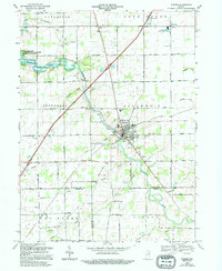
1969 Map of Warren
USGS Topo · Published 1995About this map
Warren serves as the central hub of this Indiana landscape, situated at the intersection of several key drainage basins and civil boundaries. The Salamonie River cuts diagonally across the terrain, feeding into the expansive Salamonie Lake at the western edge, where the Salamonie Lake State Wildlife Management and Recreation Area was established. The map reveals a land heavily managed for agriculture and industry, evidenced by a dense network of drainage projects like Detamore Ditch and Wearley Ditch, alongside numerous Oil Wells scattered across Lancaster and Jefferson townships.
Find a feature on this map
46 named features on this map. Tap any name to fly to it.
Don’t see what you’re looking for? This feature index may not catch every label — zoom into the map to look around manually.
Map Details
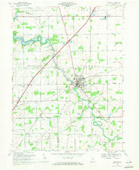
Editions of this 1969 Warren Map
2 editions found
Other maps of this area

1950 · Andrews
USGS Topo · 1:24,000

1950 · Warren
USGS Topo · 1:24,000

1950 · Mount Etna
USGS Topo · 1:24,000

1951 · Mount Etna
USGS Topo · 1:24,000

1951 · Andrews
USGS Topo · 1:24,000

1952 · Warren
USGS Topo · 1:24,000

1952 · Majenica
USGS Topo · 1:24,000

1953 · Muncie
USGS Topo · 1:250,000

1955 · Markle
USGS Topo · 1:24,000

1956 · Muncie
USGS Topo · 1:250,000