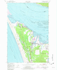
1953 Map of Warrenton
USGS Topo · Published 1982About this map
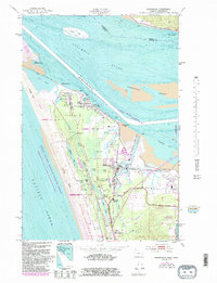
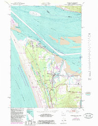
Fort Stevens dominates the northern tip of this coastal landscape, guarding the entrance to the Columbia River where it meets the Pacific Ocean. This maritime and military corridor is defined by its complex hydrology, featuring the expansive Desdemona Sands and a chain of interior coastal lakes including Coffenbury Lake, Abbot Lake, and Smith Lake along the Clatsop Plains. The settlement of Warrenton serves as a hub of industry and transport, situated along the Skipanon Waterway and the Burlington Northern railroad lines. Significant local history is preserved at the Soldiers Cem and Warrenton Cem, while the Point Adams Coast Guard Station reflects the area's essential role in river navigation. The map also details the evolving shoreline at Clatsop Spit and the nearby Clatsop County Airport, showing a region shaped by both its strategic military importance and its busy river-and-rail economy.
Find a feature on this map
53 named features on this map. Tap any name to fly to it.
Don’t see what you’re looking for? This feature index may not catch every label — zoom into the map to look around manually.
Map Details
Editions of this 1953 Warrenton Map
6 editions found
Other maps of this area

1919 · Astoria
USGS Topo · 1:62,500

1938 · Cape Disappointment
USGS Topo · 1:62,500

1938 · Fort Columbia
USGS Topo · 1:62,500

1939 · Astoria
USGS Topo · 1:62,500

1943 · Fort Columbia
USGS Topo · 1:62,500

1943 · Copalis Beach
USGS Topo · 1:250,000

1949 · Astoria
USGS Topo · 1:24,000

1949 · Chinook
USGS Topo · 1:24,000

1949 · Knappton
USGS Topo · 1:24,000

1949 · Gearhart
USGS Topo · 1:24,000