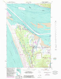
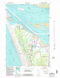
1953 Map of Warrenton
USGS Topo · Published 1985About this map
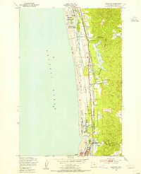
Fort Stevens Military Reservation and the sprawling Fort Stevens State Park dominate the mouth of the Columbia River, showing a landscape defined by military defense and coastal geography. This 1953 survey, with bathymetric data and 1980s updates, details the complex maritime infrastructure near Hammond and Warrenton, including the Point Adams Coast Guard Sta and the Skipanon Waterway. The interaction of the river and the Pacific Ocean is evidenced by the massive South Jetty and shifting shoals like Desdemona Sands.
Find a feature on this map
57 named features on this map. Tap any name to fly to it.
Don’t see what you’re looking for? This feature index may not catch every label — zoom into the map to look around manually.
Map Details
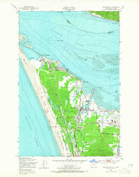
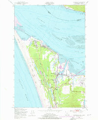
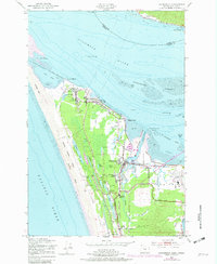
Editions of this 1953 Warrenton Map
6 editions found

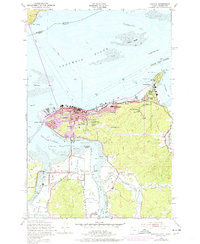
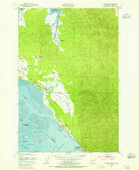
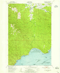
Other maps of this area

1919 · Astoria
USGS Topo · 1:62,500

1938 · Cape Disappointment
USGS Topo · 1:62,500

1938 · Fort Columbia
USGS Topo · 1:62,500

1939 · Astoria
USGS Topo · 1:62,500

1943 · Fort Columbia
USGS Topo · 1:62,500

1943 · Copalis Beach
USGS Topo · 1:250,000
1949 · Astoria
USGS Topo · 1:24,000
1949 · Chinook
USGS Topo · 1:24,000
1949 · Knappton
USGS Topo · 1:24,000
1949 · Gearhart
USGS Topo · 1:24,000