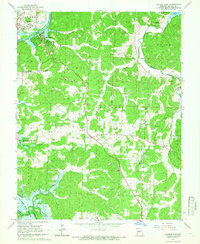
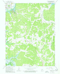
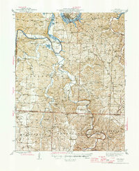
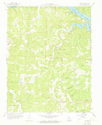
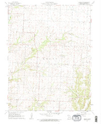
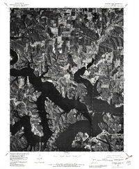
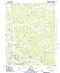
1964 Map of Warsaw East
USGS Topo · Published 1966This historical map portrays the area of Warsaw East in 1964, primarily covering Benton County. Featuring a scale of 1:24000, this map provides a highly detailed snapshot of the terrain, roads, buildings, counties, and historical landmarks in the Warsaw East region at the time. Published in 1966, it is one of 3 known editions of this map due to revisions or reprints.
Find a feature on this map
47 named features on this map. Tap any name to fly to it.
Don’t see what you’re looking for? This feature index may not catch every label — zoom into the map to look around manually.
Map Details
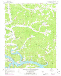
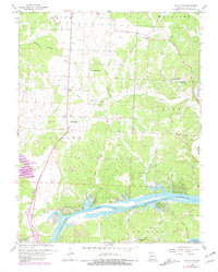
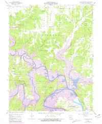
Editions of this 1964 Warsaw East Map
3 editions found
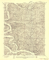
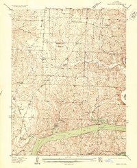
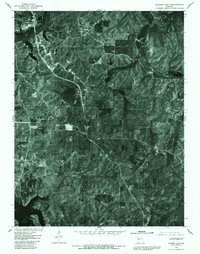
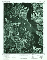
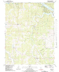
Historical Maps of Dell Junction Through Time
25 maps found

1935 Dell
Benton County, MO

1935 Edwards
Benton County, MO
1936 Lakeview Heights
Benton County, MO
1936 Schuyler
Benton County, MO

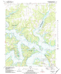
1936 Shawnee Bend
Benton County, MO
1945 Fristoe
Benton County, MO
1955 Shawnee Bend
Benton County, MO
1957 Edwards
Benton County, MO
1957 Schuyler
Benton County, MO
1959 Edwards
Benton County, MO
1959 Lakeview Heights
Benton County, MO
1959 Lincoln SE
Benton County, MO
1959 Shawnee Bend
Benton County, MO
1961 Lincoln NW
Benton County, MO
1964 Warsaw East
Benton County, MO
1965 Warsaw West
Benton County, MO
1980 Lincoln SE
Benton County, MO
1980 Shawnee Bend
Benton County, MO
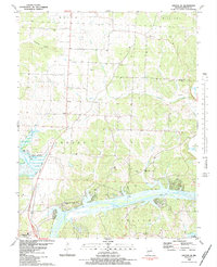
1980 Warsaw East
Benton County, MO
1980 Warsaw West
Benton County, MO
1983 Edwards
Benton County, MO

1983 Harry S Truman Reservoir
Benton County, MO
1983 Lakeview Heights
Benton County, MO
1983 Lincoln SE
Benton County, MO
1983 Shawnee Bend
Benton County, MO