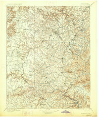
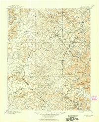
1896 Map of Wartburg
USGS Topo · Published 1927About this map
Wartburg and Jamestown anchor this late-nineteenth-century survey of the Cumberland Plateau, where the rugged topography of The Wilderness meets the developing rail corridors of the Cincinnati New Orleans and Texas Pacific R.R. The landscape is defined by deep river gorges cut by the South Fork Cumberland River, Emory River, and Obed River, creating a natural barrier that dictated early settlement patterns.
Find a feature on this map
130 named features on this map. Tap any name to fly to it.
Don’t see what you’re looking for? This feature index may not catch every label — zoom into the map to look around manually.
Map Details
Editions of this 1896 Wartburg Map
6 editions found

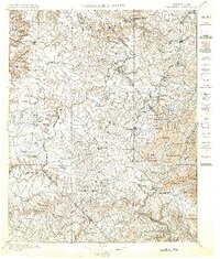
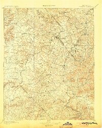
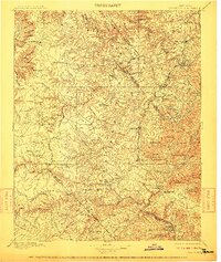
Other maps of this area

1887 · Kingston
USGS Topo · 1:125,000

1890 · Williamsburg
USGS Topo · 1:125,000

1891 · Kingston
USGS Topo · 1:125,000

1892 · Pikeville
USGS Topo · 1:125,000

1893 · Briceville
USGS Topo · 1:125,000

1893 · Kingston
USGS Topo · 1:125,000

1894 · Williamsburg
USGS Topo · 1:125,000

1895 · Wartburg
USGS Topo · 1:125,000

1895 · Loudon
USGS Topo · 1:125,000

1895 · Briceville
USGS Topo · 1:125,000