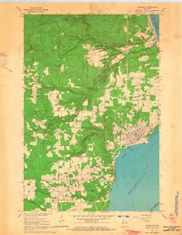
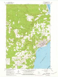
1964 Map of Washburn
USGS Topo · Published 1965About this map
Washburn sits along the western shoreline of Chequamegon Bay, serving as a focal point for this mid-1960s survey of the Lake Superior coast. The industrial and civic infrastructure of the era is evident through the Waterworks, Sewage Disposal, and the active Chicago and North Western rail line. To the north, the small settlement of Sioux rests near where the Sioux River meets Lake Superior at Sioux Slough.
Find a feature on this map
30 named features on this map. Tap any name to fly to it.
Don’t see what you’re looking for? This feature index may not catch every label — zoom into the map to look around manually.
Map Details
Editions of this 1964 Washburn Map
2 editions found
Other maps of this area

1941 · Bayfield
USGS Topo · 1:48,000

1942 · Ashland
USGS Topo · 1:48,000

1944 · Moquah
USGS Topo · 1:48,000

1944 · Cornucopia
USGS Topo · 1:48,000

1946 · Cornucopia
USGS Topo · 1:48,000

1946 · Bayfield
USGS Topo · 1:48,000

1947 · Moquah
USGS Topo · 1:48,000

1947 · Ashland
USGS Topo · 1:48,000

1953 · Ashland
USGS Topo · 1:250,000

1958 · Ashland
USGS Topo · 1:250,000