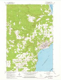
1964 Map of Washburn
USGS Topo · Published 1976About this map
Chequamegon Bay and the shoreline of Lake Superior anchor this mid-1960s study of the Washburn area, showing a landscape defined by its coastal geography and rail infrastructure. The Chicago and North Western railroad follows the curve of Vandeventer Bay, connecting the industrial and residential heart of the town to smaller northern settlements like Sioux. Local resource extraction is evidenced by several Gravel Pits and a Sandpit scattered across the interior, while the town's social and civil structure is marked by the Woodlawn Cem, Calvary Cem, and a central Townhall. North of the main settlement, the Sioux River feeds into the Sioux Slough, illustrating the marshy transition between the wooded uplands and the great lake. This edition includes purple photorevised updates from the mid-1970s, reflecting changes in the local Corporate Boundary and infrastructure since the original field check.
Find a feature on this map
29 named features on this map. Tap any name to fly to it.
Don’t see what you’re looking for? This feature index may not catch every label — zoom into the map to look around manually.
Map Details
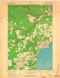
Editions of this 1964 Washburn Map
2 editions found
Other maps of this area

1941 · Bayfield
USGS Topo · 1:48,000

1942 · Ashland
USGS Topo · 1:48,000

1944 · Moquah
USGS Topo · 1:48,000

1944 · Cornucopia
USGS Topo · 1:48,000

1946 · Cornucopia
USGS Topo · 1:48,000

1946 · Bayfield
USGS Topo · 1:48,000

1947 · Moquah
USGS Topo · 1:48,000

1947 · Ashland
USGS Topo · 1:48,000

1953 · Ashland
USGS Topo · 1:250,000

1958 · Ashland
USGS Topo · 1:250,000