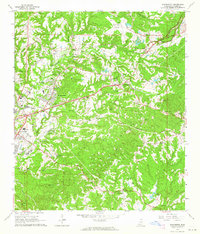
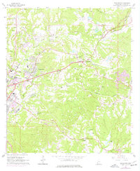
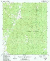
1963 Map of Washington
USGS Topo · Published 1964This historical map portrays the area of Washington in 1963, primarily covering Adams County. Featuring a scale of 1:24000, this map provides a highly detailed snapshot of the terrain, roads, buildings, counties, and historical landmarks in the Washington region at the time. Published in 1964, it is one of 2 known editions of this map due to revisions or reprints.
Find a feature on this map
62 named features on this map. Tap any name to fly to it.
Don’t see what you’re looking for? This feature index may not catch every label — zoom into the map to look around manually.
Map Details
Editions of this 1963 Washington Map
2 editions found
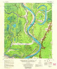
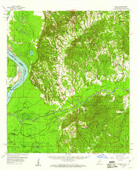
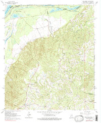
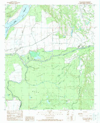
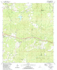
Historical Maps of Saint Catherine Through Time
11 maps found
1958 Artonish
Adams County, MS
1958 Kingston
Adams County, MS
1963 Pine Ridge
Adams County, MS
1963 Washington
Adams County, MS
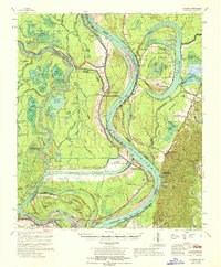
1967 Artonish
Adams County, MS
1988 Buck Island
Adams County, MS
1988 Cranfield
Adams County, MS
1988 Jeannette
Adams County, MS

1988 Kingston
Adams County, MS
1988 Sibley
Adams County, MS
2000 Jeannette
Adams County, MS