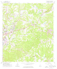
1963 Map of Washington
USGS Topo · Published 1977About this map
Washington and its immediate surroundings in Adams County appear here during a period of transition, where the historical footprint of Jefferson Military College meets the expanding infrastructure of the mid-20th century. The settlement pattern is defined by a dense network of family and community landmarks, including numerous cemeteries like Sweet Auburn Cem and the Winston Cem, which sit alongside the industrial presence of gravel pits and oil wells. The Illinois Central and Natchez Central rail lines cut through the rolling landscape, bridging the gap between rural outposts like Selma and Fenwick and the eastern edge of Natchez.
Find a feature on this map
68 named features on this map. Tap any name to fly to it.
Don’t see what you’re looking for? This feature index may not catch every label — zoom into the map to look around manually.
Map Details
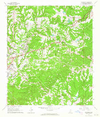
Editions of this 1963 Washington Map
2 editions found
Other maps of this area

1909 · Vidalia
USGS Topo · 1:24,000

1921 · Natchez
USGS Topo · 1:48,000

1922 · Natchez
USGS Topo · 1:62,500

1939 · Natchez
USGS Topo · 1:62,500

1939 · Kingston
USGS Topo · 1:62,500

1953 · Natchez
USGS Topo · 1:250,000

1956 · Natchez
USGS Topo · 1:250,000

1958 · Kingston
USGS Topo · 1:62,500

1959 · Natchez
USGS Topo · 1:250,000

1961 · Crosby
USGS Topo · 1:62,500