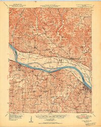
1949 Map of Washington
USGS Topo · Published 1949About this map
Washington and New Haven anchor this Missouri River corridor, where the waterway serves as the dividing line between Warren and Franklin counties. The northern bank is characterized by the wide agricultural expanse of La Charrette Bottom and the high bluffs near Marthasville, while the southern side features the prominent Dundee Knob and numerous creek drainages. Transport infrastructure of the late 1940s is well-defined, showing the Missouri Kansas Texas railroad running along the north bank through Treloar and Peers, while the Missouri Pacific follows the southern shore. Local history is deeply embedded in the rural landscape, marked by family-named schools such as Bierbaum Sch and Maupin Sch, and significant landmarks like the Daniel Boone Monument near the river valley floor. Settlement patterns follow the ridges and creek valleys, with communities like Concord Hill and Holstein dotting the northern hills.
Find a feature on this map
78 named features on this map. Tap any name to fly to it.
Don’t see what you’re looking for? This feature index may not catch every label — zoom into the map to look around manually.
Map Details
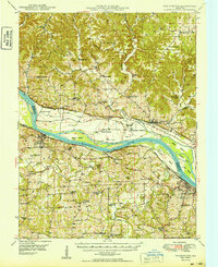
Editions of this 1949 Washington Map
2 editions found
Other maps of this area

1890 · Hermann
USGS Topo · 1:125,000

1901 · De Soto
USGS Topo · 1:125,000

1903 · O'Fallon
USGS Topo · 1:125,000

1903 · Sullivan
USGS Topo · 1:125,000

1935 · Gerald
USGS Topo · 1:48,000

1936 · Hermann
USGS Topo · 1:48,000

1941 · Gerald
USGS Topo · 1:62,500

1941 · Troy
USGS Topo · 1:62,500

1942 · Hermann
USGS Topo · 1:62,500

1942 · New Florence
USGS Topo · 1:62,500