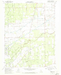
1968 Map of Waterloo
USGS Topo · Published 1972About this map
The Waterloo settlement and its surrounding agricultural landscape dominate this Central Valley survey, showcasing a region defined by intricate water management and early California history. The Calaveras River and several creek systems, including Bear Creek and Mosher Creek, weave across the terrain, which is famously intersected by the massive Mokelumne Aqueduct. This infrastructure highlights the area's transition into a critical utility corridor for the state.
Find a feature on this map
69 named features on this map. Tap any name to fly to it.
Don’t see what you’re looking for? This feature index may not catch every label — zoom into the map to look around manually.
Map Details
Editions of this 1968 Waterloo Map
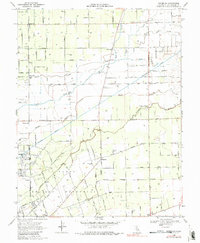
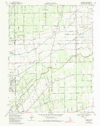
3 editions found
Other maps of this area

1894 · Lodi
USGS Topo · 1:125,000

1908 · Waterloo
USGS Topo · 1:31,680

1908 · Linden
USGS Topo · 1:31,680

1908 · Lockeford
USGS Topo · 1:31,680

1909 · Clements
USGS Topo · 1:31,680

1910 · Castle
USGS Topo · 1:31,680

1910 · Woodbridge
USGS Topo · 1:31,680

1913 · Stockton
USGS Topo · 1:31,680

1914 · Burnham
USGS Topo · 1:31,680

1915 · Peters
USGS Topo · 1:31,680