
1953 Map of Watford City
USGS Topo · Published 1968About this map
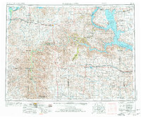
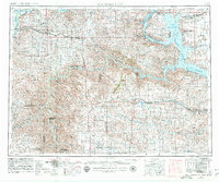
The Missouri River and the newly formed Garrison Reservoir dominate this mid-century western North Dakota landscape, showing the dramatic transformation of the Missouri River Basin during the Garrison Dam era. The Fort Berthold Indian Reservation is central to the sheet, with several Indian Service Headquarters segments mapped as the reservoir flooded tribal lands. Extensive badlands terrain is visible along the Little Missouri River, anchored by the Theodore Roosevelt National Memorial Park (North Unit) and the Petrified Forest. This era shows Watford City as a regional hub, connected by the Great Northern railroad which runs through Alexander and Rawson. Further south, the Killdeer Mountains and the Lake Ilo National Wildlife Refuge mark a shift into the ranching country of Dunn County and Billings County.
Find a feature on this map
96 named features on this map. Tap any name to fly to it.
Don’t see what you’re looking for? This feature index may not catch every label — zoom into the map to look around manually.
Map Details
Editions of this 1953 Watford City Map
3 editions found
Other maps of this area

1909 · Glendive
USGS Topo · 1:250,000

1911 · Ray
USGS Topo · 1:125,000

1953 · Miles City
USGS Topo · 1:250,000

1953 · Williston
USGS Topo · 1:250,000

1953 · Dickinson
USGS Topo · 1:250,000

1954 · Minot
USGS Topo · 1:250,000

1954 · Glendive
USGS Topo · 1:250,000

1954 · Wolf Point
USGS Topo · 1:250,000

1954 · Bismarck
USGS Topo · 1:250,000

1954 · McClusky
USGS Topo · 1:250,000