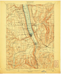
1901 Map of Watkins
USGS Topo · Published 1907About this map
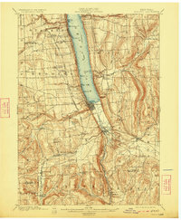
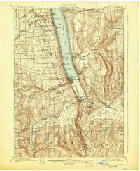
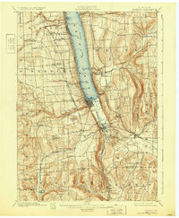
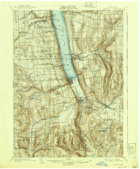
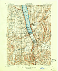
Seneca Lake dominates the center of this Finger Lakes landscape, where a dense network of late-nineteenth-century transportation infrastructure meets deep glacial gorges. The village of Watkins anchors the southern shore, serving as a hub for the Steamboat Route and multiple rail lines, including the Northern Central R.R. and the York Central and Hudson River R.R. To the south, the dramatic topography of Watkins Glen and Havana Glen carves through the terrain near Montour Falls. The survey documents numerous post offices and rural stations like Barnes P.O. and Rock Stream Station, reflecting a time when small agricultural settlements were still tightly integrated with the expanding coal and freight corridors of the Lehigh Valley R.R. further east through Burdett and Odessa.
Find a feature on this map
69 named features on this map. Tap any name to fly to it.
Don’t see what you’re looking for? This feature index may not catch every label — zoom into the map to look around manually.
Map Details
Editions of this 1901 Watkins Map
10 editions found
Other maps of this area

1893 · Ithaca
USGS Topo · 1:62,500

1895 · Ithaca
USGS Topo · 1:62,500

1895 · Elmira
USGS Topo · 1:62,500

1898 · Watkins Glen
USGS Topo · 1:62,500

1901 · Watkins
USGS Topo · 1:62,500

1902 · Waverly
USGS Topo · 1:62,500

1902 · Genoa
USGS Topo · 1:62,500

1902 · Ovid
USGS Topo · 1:62,500

1903 · Penn Yan
USGS Topo · 1:62,500

1903 · Hammondsport
USGS Topo · 1:62,500