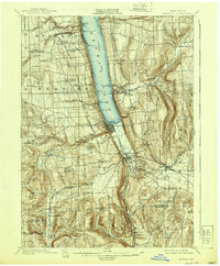
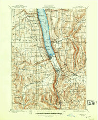
1901 Map of Watkins
USGS Topo · Published 1939About this map
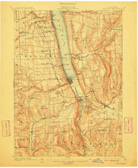
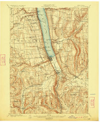
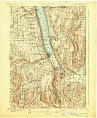
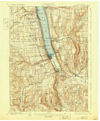
Seneca Lake serves as the dominant axis of this late 19th-century landscape, which was surveyed in 1898 and reprinted in 1939. At the southern tip of the lake, the village of Watkins and nearby Montour Falls function as the primary hubs for a complex network of transportation. A rare Steamboat Route is marked directly on the lake waters, connecting lakeside landings like Cottage Pt. and Glenora. On land, the competing infrastructure of the era is evident through the presence of the New York Central and Hudson River RR and the Lehigh Valley RR, alongside a local Electric RR line. The map highlights numerous post offices and rural hamlets, including Barnes P.O., Reading Center, and Chambers P.O., illustrating the high density of small-scale settlement across the hills of Dix and Hector before the consolidation of rural services.
Find a feature on this map
65 named features on this map. Tap any name to fly to it.
Don’t see what you’re looking for? This feature index may not catch every label — zoom into the map to look around manually.
Map Details
Editions of this 1901 Watkins Map
10 editions found
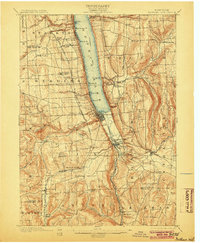
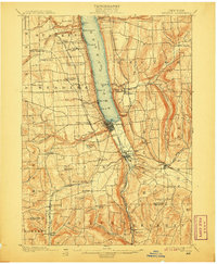
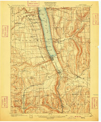
Other maps of this area

1893 · Ithaca
USGS Topo · 1:62,500

1895 · Ithaca
USGS Topo · 1:62,500

1895 · Elmira
USGS Topo · 1:62,500

1898 · Watkins Glen
USGS Topo · 1:62,500

1901 · Watkins
USGS Topo · 1:62,500

1902 · Waverly
USGS Topo · 1:62,500

1902 · Genoa
USGS Topo · 1:62,500

1902 · Ovid
USGS Topo · 1:62,500

1903 · Penn Yan
USGS Topo · 1:62,500

1903 · Hammondsport
USGS Topo · 1:62,500