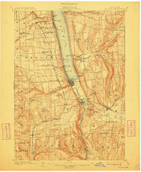
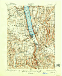
1901 Map of Watkins
USGS Topo · Published 1912About this map
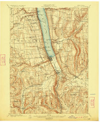
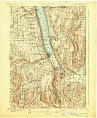
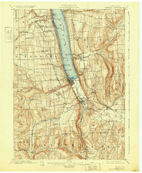
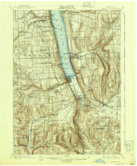
Seneca Lake anchors this 1898 survey of the Finger Lakes region, where steep glaciated terrain dictates the path of commerce and settlement. At the southern tip of the lake, the village of Watkins and nearby Montour Falls serve as critical hubs for the intersecting rail lines, including the Northern Central R.R. and the New York Central and Hudson River R.R. The map reveals a landscape deeply carved by water, highlighted by the dramatic Hector Falls and Havana Glen.
Find a feature on this map
71 named features on this map. Tap any name to fly to it.
Don’t see what you’re looking for? This feature index may not catch every label — zoom into the map to look around manually.
Map Details
Editions of this 1901 Watkins Map
10 editions found
Other maps of this area

1893 · Ithaca
USGS Topo · 1:62,500

1895 · Ithaca
USGS Topo · 1:62,500

1895 · Elmira
USGS Topo · 1:62,500

1898 · Watkins Glen
USGS Topo · 1:62,500

1901 · Watkins
USGS Topo · 1:62,500

1902 · Waverly
USGS Topo · 1:62,500

1902 · Genoa
USGS Topo · 1:62,500

1902 · Ovid
USGS Topo · 1:62,500

1903 · Penn Yan
USGS Topo · 1:62,500

1903 · Hammondsport
USGS Topo · 1:62,500