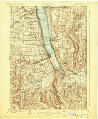
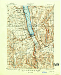
1901 Map of Watkins
USGS Topo · Published 1929About this map
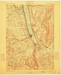
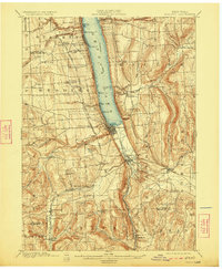
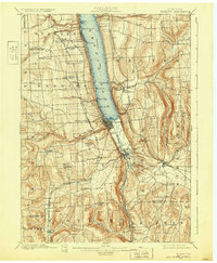
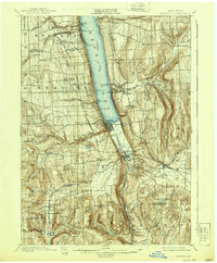
Seneca Lake dominates this Finger Lakes landscape, where deep glacial gorges and steep slopes meet the southern shore. The map illustrates a dense transportation network during a peak period of rail dominance, featuring the New York Central and Hudson River R. R. and the Lehigh Valley R. R. skirting the lake's edges. At the southern tip of the lake, the village of Watkins and nearby Montour Falls serve as key hubs where Catharine Creek flows through the valley floor. Steep-walled natural features like Watkins Glen and Big Hollow Run characterize the terrain, while upland settlements such as Reading Center and Burdett are connected by local roads and an Electric R. R. line. For genealogists, the map preserves the locations of early post offices like Barnes P. O. and Chambers P. O., which were vital links for the rural communities of Dix and Hector.
Find a feature on this map
62 named features on this map. Tap any name to fly to it.
Don’t see what you’re looking for? This feature index may not catch every label — zoom into the map to look around manually.
Map Details
Editions of this 1901 Watkins Map
10 editions found
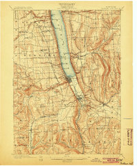
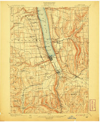
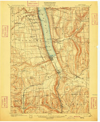
Other maps of this area

1893 · Ithaca
USGS Topo · 1:62,500

1895 · Ithaca
USGS Topo · 1:62,500

1895 · Elmira
USGS Topo · 1:62,500

1898 · Watkins Glen
USGS Topo · 1:62,500

1901 · Watkins
USGS Topo · 1:62,500

1902 · Waverly
USGS Topo · 1:62,500

1902 · Genoa
USGS Topo · 1:62,500

1902 · Ovid
USGS Topo · 1:62,500

1903 · Penn Yan
USGS Topo · 1:62,500

1903 · Hammondsport
USGS Topo · 1:62,500